Pilot was great and provided excellent video and aerial photography for the property.
Charles Mazzini
Acquisition Manager
Trustland Group LLC
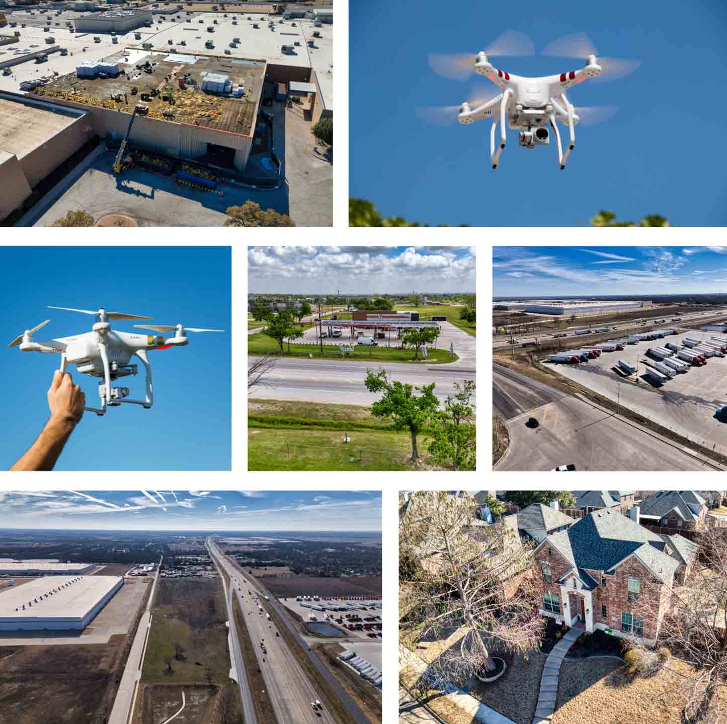
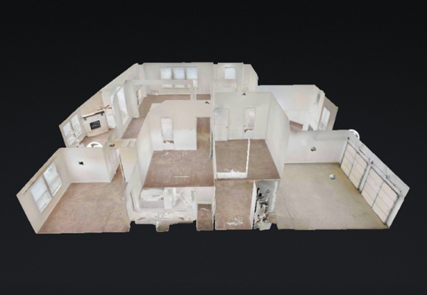
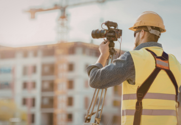
Many properties, job sites, and projects need a clear view from many perspectives of what’s actually happening, whether it’s tracking progress, checking conditions, or making sure everything is as it should be. Without reliable aerial visuals, issues can go unnoticed, updates can be unclear, and decisions become harder to make. Precision 3D DFW provides professional drone services that give you an accurate view so you can monitor, document, and stay ahead of potential problems.
With our drone services, you can:
We provide aerial visuals in multiple formats that help you document, analyze, and communicate with clarity and confidence.

Improve safety, reduce access risks, get updates on timelines and benchmarks and capture detailed visual data for rooftops, towers, equipment, structures, and other hard-to-reach areas.

Create more engaging content that captures attention, strengthen branding, and helps properties and businesses stand out in competitive markets.

Gain better property and site insights, improve planning accuracy, and document land and project conditions with detailed aerial perspectives and spatial data collection.
Pilot was great and provided excellent video and aerial photography for the property.
Charles Mazzini
Acquisition Manager
Trustland Group LLC
Pilot was great, very detailed and provide exactly the right images, he confirmed everything in advance and delivered everything very quickly in multiple high quality formats, will use again for sure!
Matt Scow
Executive Vice President
SecureNetLease.com
An absolute pleasure to work with! Delivers high quality results and has great attention to detail. We’ll definitely be working with him on many projects to come!
Benjamin Martinez
Chief Pilot
Vimana Aerial Solutions