Pilot was great and provided excellent video and aerial photography for the property.
Charles Mazzini
Acquisition Manager
Trustland Group LLC
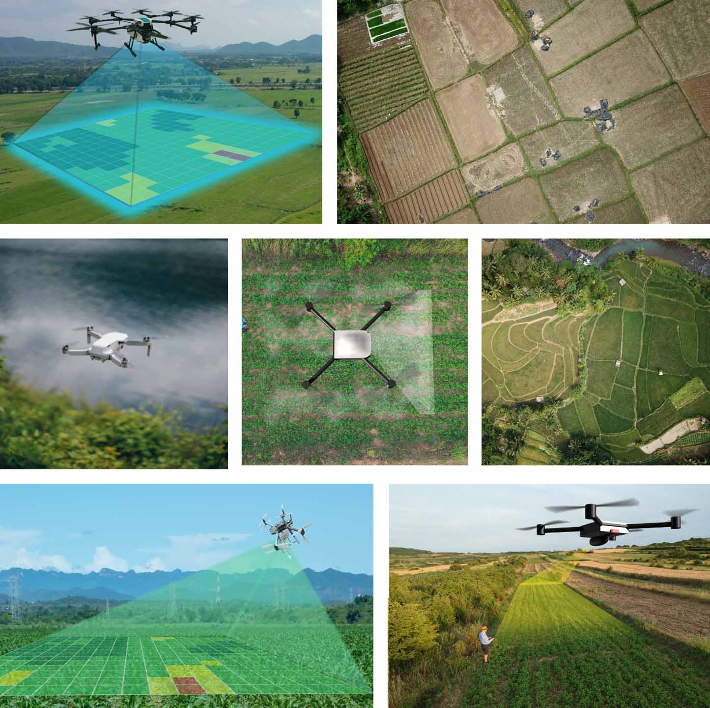
Precision 3D DFW delivers highly-accurate aerial mapping services that provide clear, data-driven insights for your projects. As a trusted aerial mapping company, we use advanced drone technology to capture precise geospatial data quickly and efficiently. Our aerial mapping service helps reduce costs, improve planning, and streamline workflows across a wide range of industries. From detailed site measurements to progress tracking, we provide reliable data you can use to make confident decisions. Choose an aerial mapping company focused on accuracy, speed, and real-world results.
Key Features


Improve safety, reduce access risks, get updates on timelines and benchmarks and capture detailed visual data for rooftops, towers, equipment, structures, and other hard-to-reach areas.

Create more engaging content that captures attention, strengthen branding, and helps properties and businesses stand out in competitive markets.

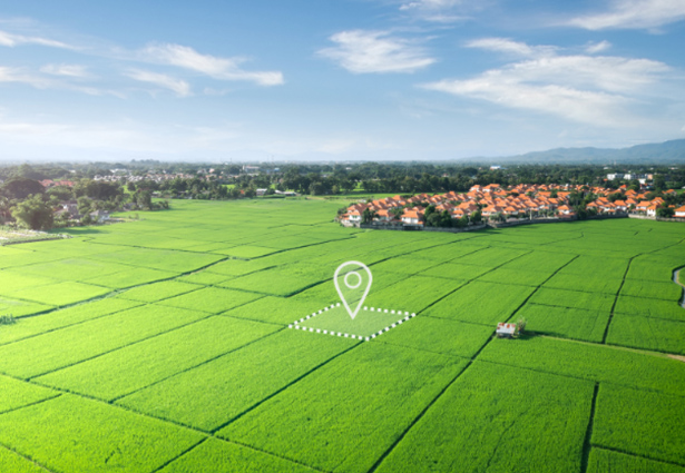
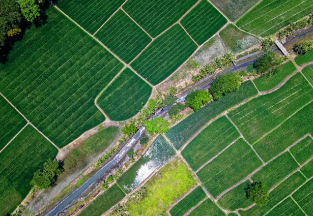
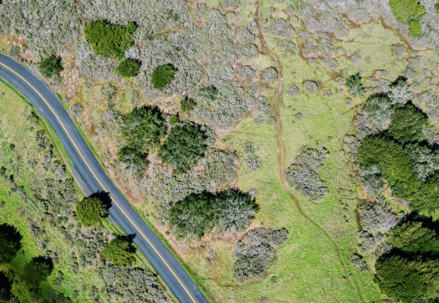
Gain better property and site insights, improve planning accuracy, and document land and project conditions with detailed aerial perspectives and spatial data collection.
Any professional aerial mapping company must operate legally and safely. In the U.S., this means holding an FAA Part 107 certification and carrying
proper insurance coverage. This protects both the client and the operator in case of accidents or liability issues. A reputable aerial mapping service will have no problem providing proof of licensing and insurance
upfront. Without this, the project could face legal risks or shutdowns.
Not all aerial mapping projects are the same, and industry-specific experience matters. A company that understands your type of project, whether construction, land development, or agriculture, will deliver more relevant and accurate results. Asking for past projects or a portfolio helps verify their expertise. Experienced providers can also anticipate
challenges and improve efficiency. This ensures you’re not paying for a learning curve on your project.
Accuracy is one of the most critical factors in aerial mapping. Professional companies use methods like ground control points, advanced processing software, and quality checks to ensure reliable data. Even small errors can lead to costly mistakes in planning or construction. You should also ask if they provide accuracy reports or validation processes. A strong
aerial mapping company will clearly explain how they guarantee precision.
Different projects require different outputs, such as maps, measurements, or reports. It’s important to understand exactly what you’ll receive and how it integrates with your workflow. Some companies only collect data, while others provide full processing and analysis. Clarifying this upfront prevents confusion and ensures the final product meets your needs. A good aerial mapping service will tailor deliverables to your project goals.
The quality of equipment directly affects the results you receive. Professional aerial mapping companies use advanced drones, sensors, and software to capture high-resolution and accurate data. Different technologies are suited for different project types and site conditions. Asking about equipment helps you understand their capabilities and limitations. It also shows whether they are investing in professional-grade solutions.
Timelines can significantly impact project success, especially in fast-moving industries. A reliable aerial mapping company should clearly communicate how long data collection, processing, and delivery will take. Turnaround time can vary depending on project size, weather conditions, and data complexity. It’s important to ensure their schedule aligns with your deadlines. Fast and dependable delivery is a key factor when choosing the right aerial mapping service.
Pilot was great and provided excellent video and aerial photography for the property.
Charles Mazzini
Acquisition Manager
Trustland Group LLC
Pilot was great, very detailed and provide exactly the right images, he confirmed everything in advance and delivered everything very quickly in multiple high quality formats, will use again for sure!
Matt Scow
Executive Vice President
SecureNetLease.com
An absolute pleasure to work with! Delivers high quality results and has great attention to detail. We’ll definitely be working with him on many projects to come!
Benjamin Martinez
Chief Pilot
Vimana Aerial Solutions